ECKERSALL | Who We Are

GIS consultants company providing quality, cost-effective solutions for
government, utility, environmental, and facility management clients

Scott Eckersall opening office door
Scott Eckersall – founder & Senior GIS Consultant
We provide the high-quality and cost-effective geospatial solutions thousands rely on each day to make mission-critical decisions.

Established in 2006

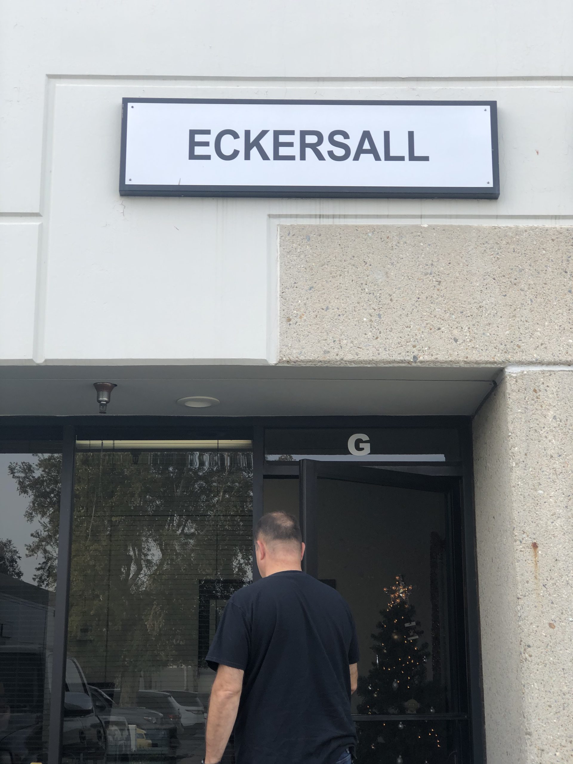
Eckersall is a GIS Consulting Firm (Geographic Information Systems) with a long-standing and well-respected history in the industry. We provide quality mapping services and have completed projects spanning a range of industries. Our staff has a deep understanding of geospatial technologies across a broad range of commercial and open-source technologies. We always offer our clients unbiased solutions that best meet their mission-critical needs without promoting any single approach or technology.

We specialize in Enterprise and Mobile GIS system design, database design, data conversion, software development, deployment, tuning, maintenance, field data collection (GPS), training, and GIS system integration. We primarily focus on government, utility, environmental, and facility maintenance.

Established in 2006, we’ve enjoyed the opportunity to work with a wide variety of agencies, organizations and commercial enterprises across California and the U.S.  Through this process, we’ve developed XY•MAPS, a web-browser based suite of GIS tools.  It supports a number of vertical markets and provides a user interface that everyone within the organization can use effectively.

XY•MAPS is our proven solution for a subset of our clients who have a compelling need for a simple and powerful GIS solution. For most of these clients, it serves as the organization’s primary GIS system. We are also experts in other spatial solutions including those from ESRI and Geocortex, and are deploying, supporting and extending a number of these installations for our City and Utility clients.

Talk with a GIS Consultant today!

Meet The Team

Scott Eckersall – GISP
Founder, President

Mr. Eckersall has over 25 years of spatial software leadership experience.  He maintains a consistent track record of delivering professional grade solutions in use by thousands.  He builds consensus and translates requirements into fully supported software using a mixture of agile methodologies. Scott routinely integrates GIS technology with other systems, databases, and processes. When Scott’s not debugging SQL or python scripts, he can be found cycling, golfing, or making paella.

For the past 15 years Chris has been working with local government and utility clients providing cartographic, data management and business analytics services. From environmental studies in Alaska to crime reporting in San Diego, Chris has worked in many disciplines at various levels within the GIS industry, giving him a wide breadth of knowledge. While he holds a degree in GIS, he can teach you more than how to write a good Python script as he is also an open water scuba instructor and certified Divemaster.

Chris Robinson – GISP, ENP
Senior GIS Consultant, President of CGIA
Cathleen Uy - Software Developer

Cathleen Uy
Software Developer

From UX and design to analysis and implementation, Cathy enjoys working on all parts of the tech stack making her a jack-of-all-trades programmer. With a degree in Mathematics & Computer Science from UC San Diego, it’s no secret that she loves data analysis and making good software. When she’s not debugging or designing, you can find her watching anime & karaoking.